Southwest winds and dry air lift fire risk across western South Dakota
Gusts up to 40 mph and humidity in the teens are expected in northeastern Wyoming and parts of the Black Hills region on Sunday.
By Samantha Reed ·
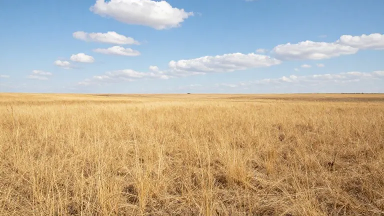
Forecasters issued a First Alert awareness notice for elevated fire danger across western South Dakota and northeastern Wyoming on Sunday.
The risk is concentrated in the plains south of Interstate 90 and the northeastern Wyoming high plains. Specific areas of concern include Gillette, Wright, Philip, and Pine Ridge. The alert is not a First Alert Weather Day, indicating the threat is notable but not expected to be severe or widespread.
The weather pattern has shifted toward warmth and dryness. Southwest winds descending from higher terrain warmed Saturday night, keeping temperatures in the upper 30s and lower 40s around the Black Hills. These conditions set the stage for a warm Sunday, with downtown Rapid City forecast to reach 73 degrees. Philip and Kadoka are expected to hit around 70 degrees, while the lower-elevation plains will see highs in the upper 60s and lower 70s. Other forecast highs include 67 degrees in Deadwood, 64 in Hill City, 63 in Sundance, and 62 in Newcastle.
Wind speeds will peak around midday and through the afternoon. Gusts of 35 to 40 mph are possible near Gillette and Wright. Rapid City may see gusts of 30 to 35 mph. Relative humidity could drop into the teens in parts of northeastern Wyoming. Areas near the Black Hills and Rapid City should see humidity readings in the lower 20s. Humidity is expected to recover late in the afternoon.
Officials advised residents to avoid open burning and to secure trailer chains to prevent dragging sparks. Drivers should keep vehicles off tall, dry grass. Care should also be taken when disposing of cigarettes or handling other ignition sources.
Black Hills communities such as Custer and Hot Springs should experience a relatively tranquil day compared to the exposed plains, though some breezy conditions may reach Spearfish and Deadwood.
A cold front will move through after Sunday, bringing cooler temperatures to the start of the workweek. Highs are generally expected to be in the lower 60s. Veterans Day on Wednesday could bring another round of breezy weather. Southwest winds are expected to return by the following weekend, helping Rapid City temperatures climb back to around 68 degrees on Friday and Saturday.