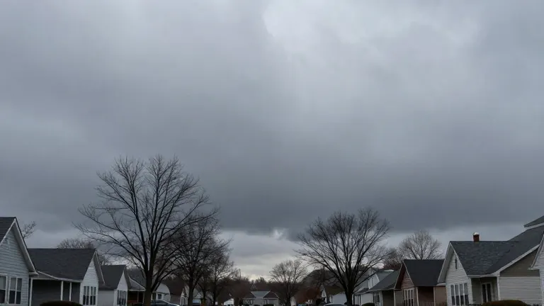
Brief Monday showers precede late-week storm in Southern New England
After a wet weekend, the region faces a midday shower Monday, dry conditions until Thursday, and a potential system bringing over an inch of rain by Friday.
By Justin Brooks ·
Southern New England residents will face a brief change in weather patterns this week following a weekend that left the region saturated. Rainfall totals varied widely, ranging from less than an inch to more than six inches across the area. The dry period that begins this week will last only until Thursday, as a new low-pressure system approaches from the west.
A small area of energy associated with the departing storm system will rotate southward on Monday. This system is expected to bring a quick shower to the region during the mid to late morning hours. Forecasters note this precipitation will be lighter than the heavy rain that fell on Friday. Skies will remain changeable with a mix of clouds and sunshine, accompanied by gusty winds.
Temperatures will reflect early winter conditions. Highs on Monday will reach the 50s, though morning lows will sit in the 40s. The combination of a low sun angle and breezy winds will make the air feel colder. In the highest elevations of Northern New England, these Monday showers may transition into snow showers, a common occurrence for this time of year.
Tuesday will offer a break from the moisture. A second area of energy will rotate south but is likely to stay far enough away to spare the region any showers. Most areas will see a blend of clouds and sunshine. Temperatures will again reach the 50s. Mornings will be chilly, but most locations will avoid frost conditions on both Monday and Tuesday.
The absence of frost remains a notable delay compared to historical averages. National Weather Service records indicate that the average date for the first frost in the Boston area is November 5. Last year, the first frost did not arrive until November 13. Local observations confirm that plants such as mandevilla in Waltham remain in bloom without visible frost damage as of Sunday.
Wednesday and Thursday will feature similar dry conditions. Temperatures will hold steady in the 50s. Thursday morning is expected to be the coldest point of the week. Readings in the coldest spots will dip to the upper 20s, while other areas will see temperatures in the 30s. This chill sets the stage for the next system approaching the region.
A low-pressure area is expected to pull the jet stream through the Ohio Valley and redevelop near or east of New England later this week. Depending on the track and strength of this storm, Southern New England could see wind and rain beginning late in the work week and continuing into the weekend. Meteorologists estimate this system could produce over an inch of precipitation.
If the temperature drops low enough, the system may also deliver snow to the higher elevations of Northern New England. While early for significant snowfall, such conditions are not unusual for the second week of November. Following the passage of this storm, the region will experience a chilly period for one to two days before temperatures begin to rise in the third week of November.