Asheville Misses Average First Freeze Date by 16 Days
Regional temperatures remain above freezing, making this one of the warmest autumns on record for the area.
By Aiko Nakamura ·
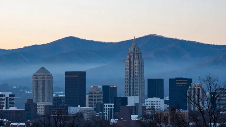
Asheville residents remained without a recorded fall freeze as of Friday, Nov. 6, marking a 16-day delay compared to the area's historical average. The city typically sees its first freeze around Oct. 21, but temperatures have stayed above 32 degrees throughout the season so far.
The lowest readings in the Asheville area this year reached 33 degrees on Oct. 18 and 19. A strong cold front moved through Western North Carolina on Oct. 17 and 18, bringing freezing conditions to higher elevations. Mount Mitchell recorded its first freeze on Oct. 17, which is two weeks later than its typical Oct. 3 date.
Other mountain communities in the region also experienced their first freeze during that two-day period. Waynesville, Cullowhee, Brevard, and Franklin all reached freezing temperatures on Oct. 18. Conversely, several nearby cities have not yet recorded a freeze. Morganton, Lake Lure, Greenville-Spartanburg, and Anderson remained above 32 degrees as of the Friday morning report.
Meteorological patterns explain the timing differences across the region. Higher elevations generally experience freezing temperatures earlier in the fall because air temperature decreases with altitude. Mountain communities usually see the first freeze in early to mid-October. Foothills typically follow in late October, while much of Upstate South Carolina sees its first freeze in early November.
Historical records show that Asheville has experienced later first freezes in the past. The latest on record occurred on Nov. 15, 1916. In the previous year, 2025, the first freeze arrived on Nov. 1. Current conditions place the 2026 season between these two historical benchmarks.
The National Weather Service in Greenville-Spartanburg forecasts cooler and drier air for the weekend of Nov. 7 and 8. Overnight temperatures are expected to drop into the 30s across the mountains during that period. A stronger cooldown may arrive the following weekend, Nov. 14 and 15. Extended forecasts indicate a greater opportunity for Asheville to reach freezing temperatures during that later window.
Data from the Iowa Environmental Mesonet confirms the unusual warmth of the current season. Asheville recorded its fourth-warmest fall-to-date period in available records for the Asheville Regional Airport. The analysis covers Sept. 1 through Nov. 6, 2026. The average temperature for this period was 65.16 degrees, compared to a historical average of 60.60 degrees for the same dates. Average highs ranked as the second warmest at 77.01 degrees, while average lows ranked eighth warmest at 53.30 degrees.